OnlineUtah.com Banner

Pictures of Ibapah, Utah
Courtesy of Dale Heaps

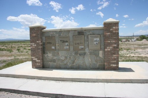
Ibapah Monument overlooking the valley. — Click on plaques to read!
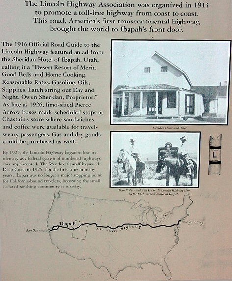
Lincoln Highway — Toll-free Highway coast to coast.
Deep Creek (Ibapah) Station provided overnight — accomondations for horses and travelers.
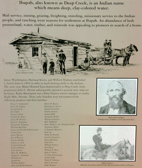
Early settlers found water and green pastureland. — The area also yielded timber and minerals.
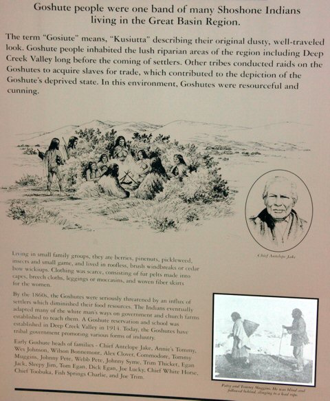
The Goshute were a band of Shoshone Indians. — They occupied the Great Basin area.
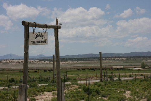
Ibapah's Convenience Store — Click to see road sign!
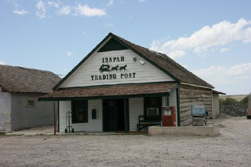
Ibapah's Convenience Store — Click to see store!
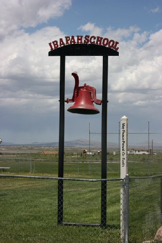
Ibapah Elementary School — Click to see road sign!
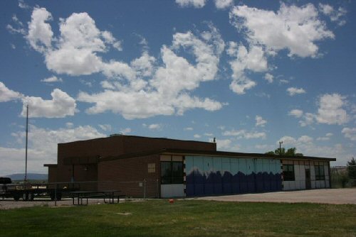
Ibapah Elementary School — Click to see School!
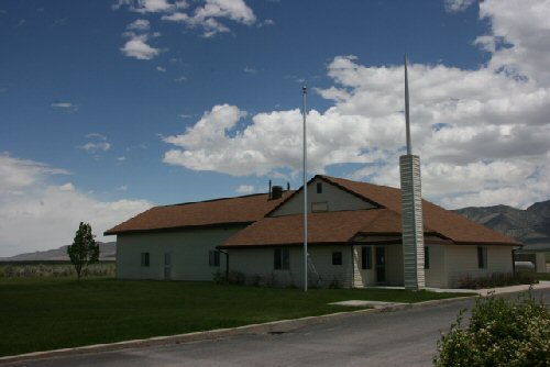
Ibapah LDS Chapel — The only church in town.
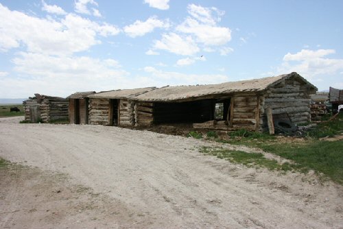
Old barns date back to Pony Express days.
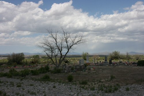
Ibapah cemetery
Ibapah cemetery

Return to Ibapah History | Return to Main Gallery


Google
 
Web OnlineUtah.com
Comments & Questions to OnlineUtah.com

Home | Area Codes | Cities | Climate | Credits | Counties | Dining | Dinosaurs | Disclaimer | Education | Entertainment | Government | Health | History | Hot Springs | Industry | Lakes | Lodging | Maps | Media | Mountains | Museums | Parks | People | Photo Gallery | Quick Facts | Quizzes | Recreation & Sports | Religion | Rivers | Sites | Travel | Weather